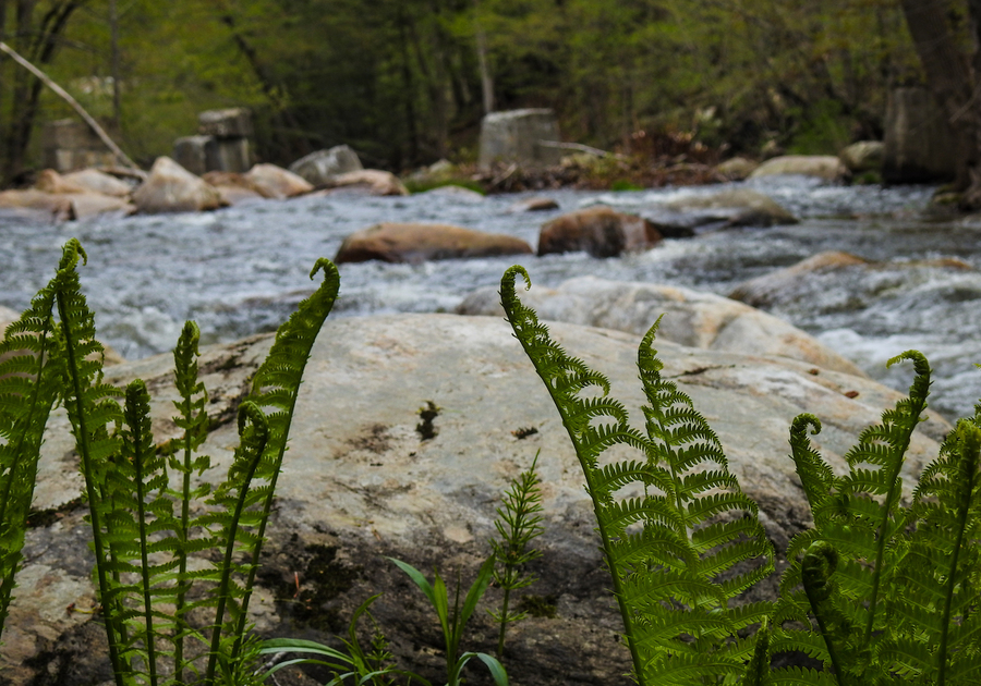
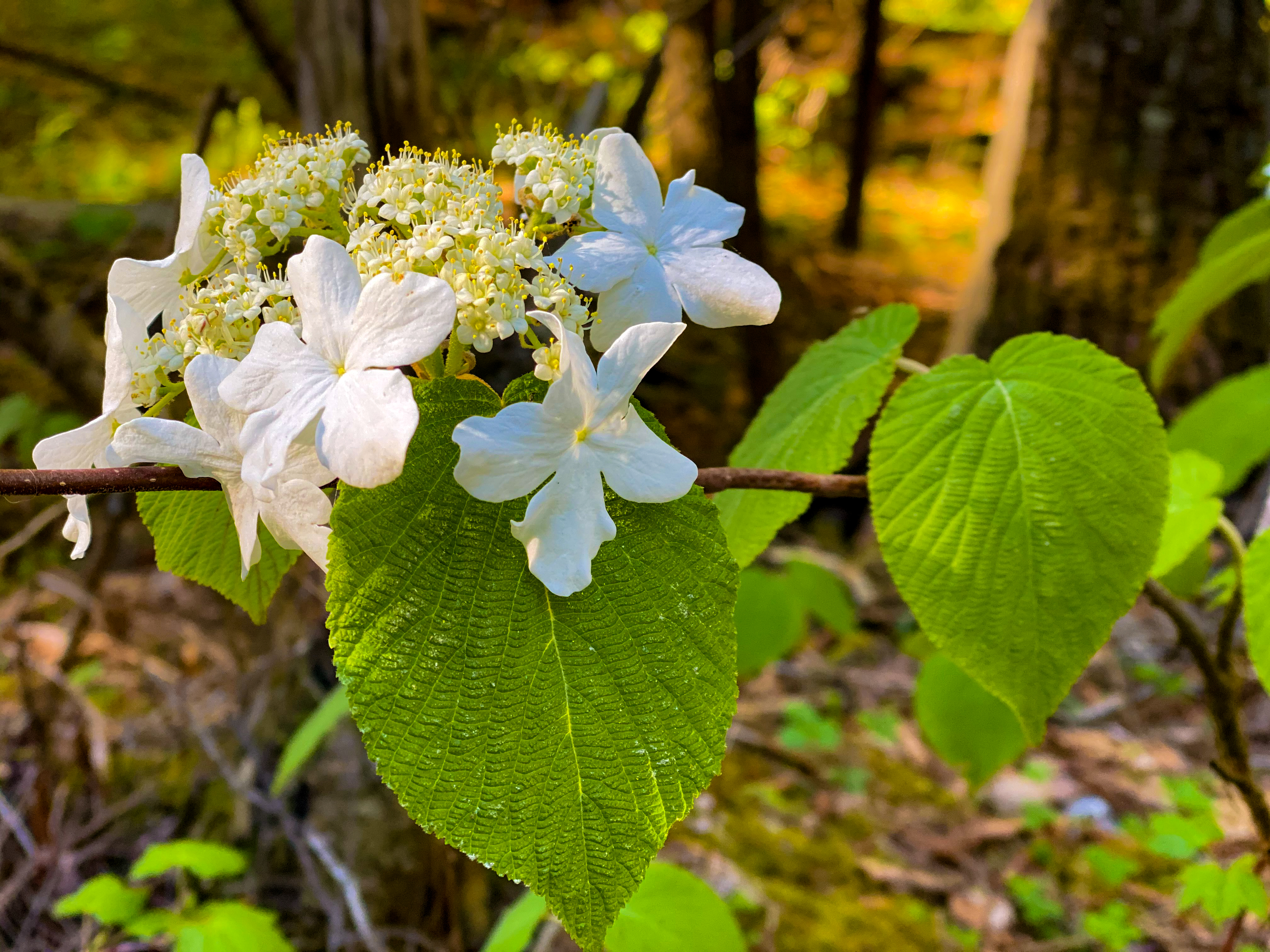
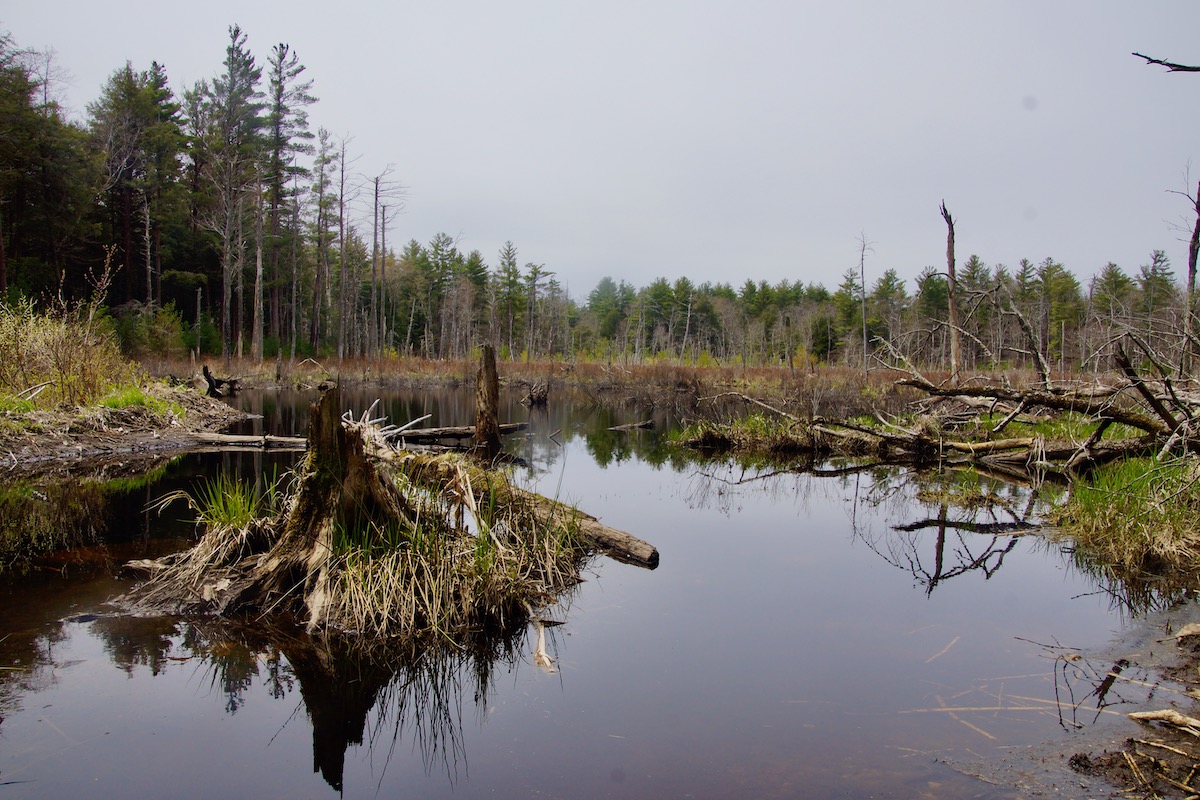
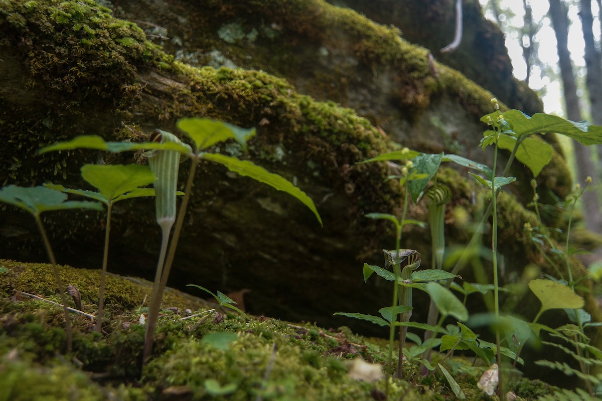
Spring is here in the Berkshires and with it comes greening hills, flowering ephemerals, and also — mud.
Snowmelt often leaves behind soft and wet trails from April to mid-May, and some locations are best to avoid until the ground firms up.
So what do you do when the weather warms up and your itching to get outdoors? Well, we have 5 trails from Berkshire Natural Resources Council that should keep you in the clear during mud season.
Remember, if you do encounter mud on the trails, be sure and walk right through it! Going around to avoid mud can damage the surrounding environment. Always pack out what you pack in and if a trailhead parking area is full, keep driving to a different location or return a different time. At trailheads, you will find signage to encourage social distancing on trails. You are asked to follow CDC and State of Massachusetts guidelines. Masks are now required at all times, including outdoors. Please leash your dog on BNRC trails at this time, since our four-legged friends don’t seem to understand social distancing.
For over 60 miles of outdoor recreation in the Berkshires, visit BNRC.org and be sure to download the Berkshire Trails App for all the info on the go!
Hoosac Range Trail
From North Adams: Take Route 2 east. Past the hairpin, on the top of the hill, the parking and trailhead will be on your right.
From Pittsfield: Take Route 8 North, at the Cumberland Farms in North Adams, take a right onto 8A. Then take a right, heading east on Route 2. The trailhead parking is on the right at the top of the hill, immediately after the Wigwam Cabins.
Adams
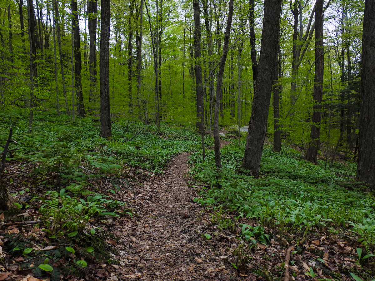
From the trailhead, hike three miles along a ridgeline to Spruce Hill, with its 180-degree views including Mount Greylock to the west. Hikers can return or descend to trailheads in Savoy Mountain State Forest by the Busby or continue on the Mahican Mohawk Trail. An out and back trip on the Hoosac Range Trail is about six miles and takes three to four hours. Far beneath the trail is the Hoosac Tunnel, a rail connection between Northern Berkshire and Boston that opened in 1876.
The shorter inner-loop hike to Sunset Rock provides views to the west and north, overlooking North Adams. A round trip is 1.6 miles
| Special features: High elevation long views: prepare for the sublime! Cool rock cliffs formed by “glacial plucking” with trees twisted into fantastical forms by wind and ice. Along the trail are spring ephemerals, including hepatica. Hobblebush lines much of the trail. Great viewing at Spruce Hill. Views over North Adams, Mount Greylock, and Florida State Forest. |
Old Mill Trail
From the center of Dalton: take Route 8 south to the Hinsdale line. From the town line, continue 4/10 miles to a left on Old Dalton Road. The trailhead parking is the first, immediate left.
Hinsdale
The first 0.7 miles of the Old Mill Trail is an accessible trail that follows the river north. After the accessible trail ends, the single track Old Mill Trail continues for 0.8 miles, crossing Route 8 and following the river downstream. After the Route 8 crossing, the first several hundred feet of beautifully crafted trail is at the river’s edge. The entire trail, out-and-back, is 3 miles and offers great views of the East Branch of the Housatonic River.
This trail connecting the communities of Dalton and Hinsdale, blends nature’s beauty with the history of the local nineteenth-century textile mills
| Special features: accessible trail, fishing access, and interpretive trail. The plants growing along the trail include Hemlock trees that prefer moist, cool ravines near the water. The shade they provide encourages the growth of shrubs such as hobblebush, with white flowers in spring. |
The Boulders Reserve
To the trailhead parking area on Gulf Road, Dalton: take routes 8/9 east from the center of Pittsfield. Take a left onto Park Avenue in Dalton, past Craneville School. Take a left onto Gulf Road. Park at the pull-off on the left, opposite the parking for the Appalachian Trail. We do not recommend taking Gulf Road from Lanesboro; this is a very rough, seasonal dirt road. To the trailhead on Dalton Avenue, enter directly across from the intersection with Hubbard Avenue.
Dalton/Pittsfield
This property was acquired by the Crane family in the beginning of the 19th century. In 1994, the family officially opened the property to public. It became permanently protected in 2004 when Mass Wildlife bought a conservation restriction. In 2015 Crane and Company donated The Boulders property to the Berkshire Natural Resources Council, ensuring that this popular destination – most of which is within the city limits of Pittsfield – would be conserved and open to the public.
The land use history of this property has resulted in diverse forests including large and old trees. This makes for a memorable experience no matter which route you take.
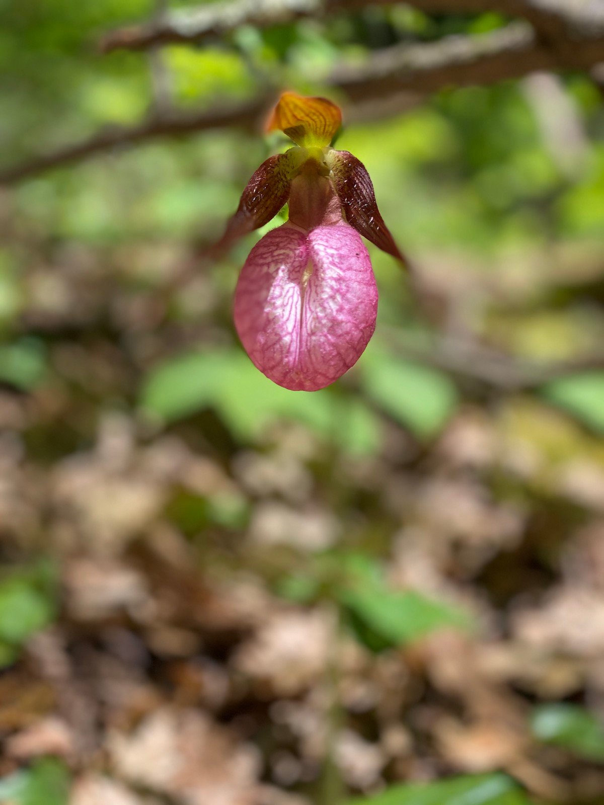
| Special features: Miles of excellent trails, beautiful tall trees, and natural slides. Deer and barred owls are among many animal species to be found here; red trillium and pink lady-slippers show up in spring among many other ephemeral wildflowers. |
Steepletop Reserve
From Great Barrington, take Route 23 east to Monterey. Just after the Monterey line, bear right onto Route 57/183 into New Marlborough. Just before the Old Inn on the Green in New Marlborough, turn left onto North Road; follow for 1.6 miles. Turn right at the steep, inclining driveway marked “684”. Bear right into our gravel parking lot at the top of the little hill. The trails begin right at the trailhead parking; there is a kiosk just beyond the gate.
New Marlborough
The well-blazed trails North and South Loops take visitors past extensive stonewalls, near foundations and over brook crossings. While the trails are not groomed for winter skiing, they and the wood roads are often wide enough for skating cross-country skiers as well as those using the classic technique. Winter visitors to the reserve can follow the tracks of many different species.
| Special features: Expansive wetlands, miles of wood road Within the wooded area’s mix of conifers and hardwoods, two queens of the New England forest—white pines and black cherries—often stand next to each other in full growth. Different varieties of birch and maple as well as oaks, beech and hemlock are also abundant. Look for cattails and wild cranberry in the wet areas. |
Widow White Reserve
The Widow White Reserve is accessed from an unimproved trailhead off Silver Street.
From the center of Lanesboro: north on Route 7 to a left on Bailey Road. Follow Bailey Road north for 1.0 miles to a left on Silver Street. Follow Silver Street for 0.4 miles to the trailhead, which is at the top of a short steep hill, on a very sharp left-hand curve. Trailhead is on the right at the curve.
Lanesborough
Wood roads offering out-and-back hikes course through the property, which the Berkshire Natural Resources Council acquired in two parcels during the past two decades. The remnants of two mill dams on Secum Brook, small quarries and an extensive stone wall provide evidence of the land’s industrial and agricultural past.
Another piece of history is the Captain John Brown stone. In 1878, his bid to marry Susan Baker was rejected, and in response, he had these words engraved on a sandstone boulder near a wood road on what was then Baker’s property: “May God Bless Susan and all her baren land and when she get to Heaven I hope She’l find a Man.”
| The limestone bedrock here is the foundation for calcium-rich soils, which create conditions for a variety of plant species to thrive. Spring ephemeral wildflowers blanket the forest floor before leaves come out in early spring. Numerous fern species, including maidenhead fern, populate the rocky outcrops and dominate the understory. |
All of the present-day Berkshires, are the homelands of the Mohican people who were forcefully displaced to Wisconsin. These lands continue to be of great significance to the Stockbridge-Munsee Mohican Nation.
All photography by Gabrielle K. Murphy